October 12, 2018 - Fly to Maine
|
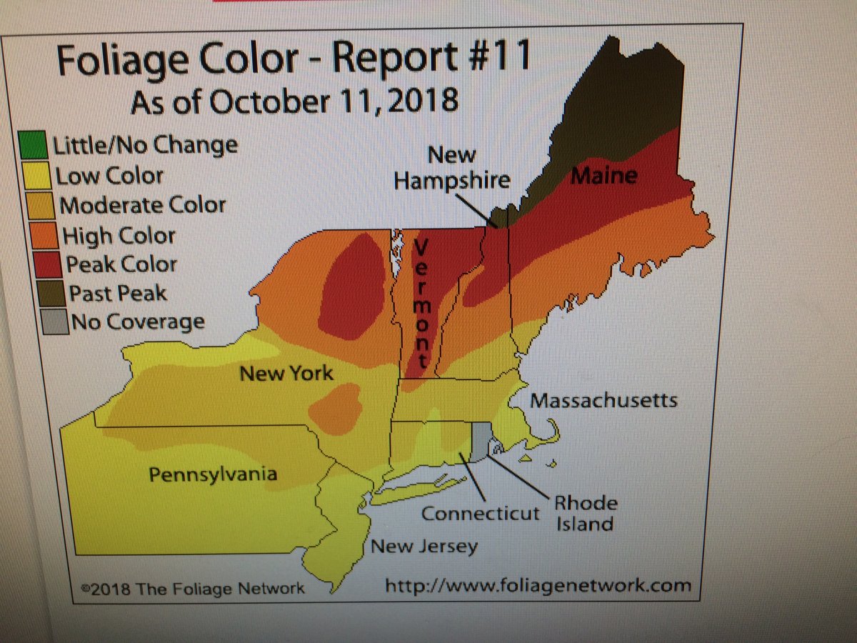
| Lynnette and the girls were living in up in New York City this weekend so I decided to take Friday off and fly up to Maine to check out the foliage. I would fly around Maine on Saturday, then come back on Sunday. The weather forecast looked promising. As you can see, the foliage should be at or near peak. |
| |
 |
|
|
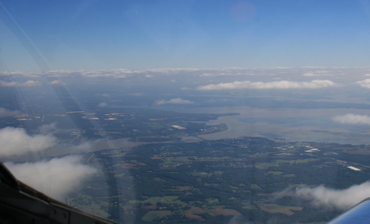
I wanted to spend time flying around Maine, not Maryland, so I climbed high right away. That's the Susquehanna River up ahead.
|
| |
 |
|
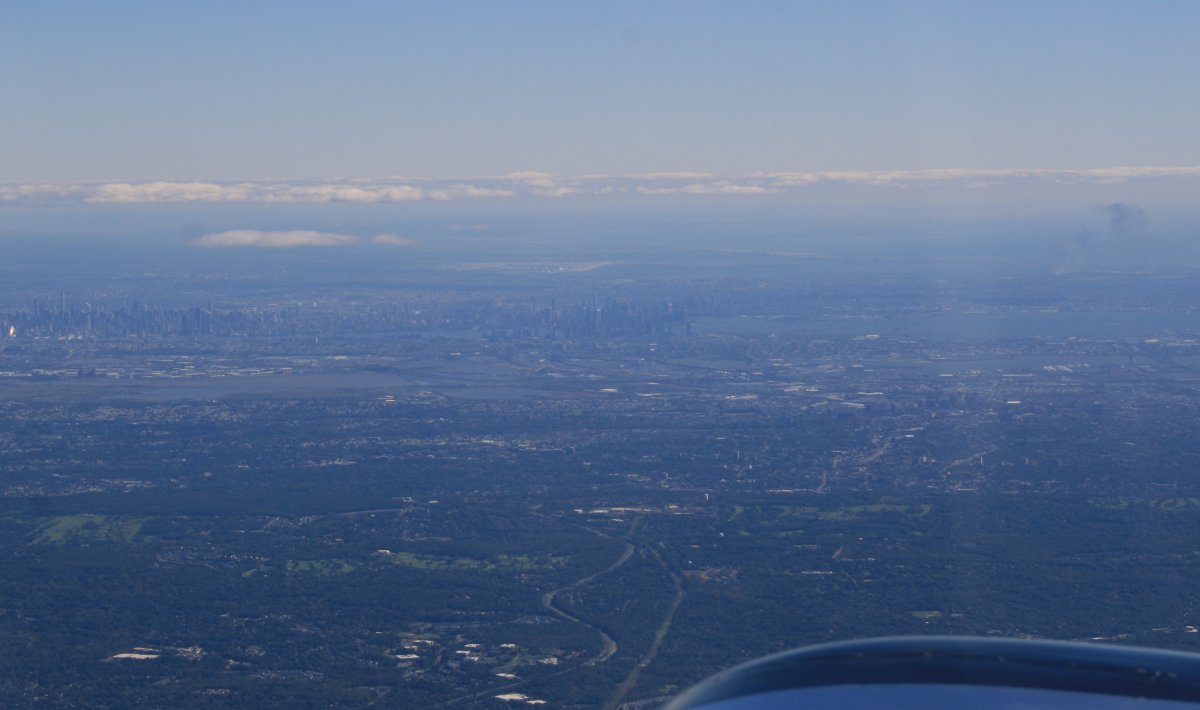
| That's New York City off to the east. Lynnette is down there on the Statue of Liberty. |
| |
 |
|
|
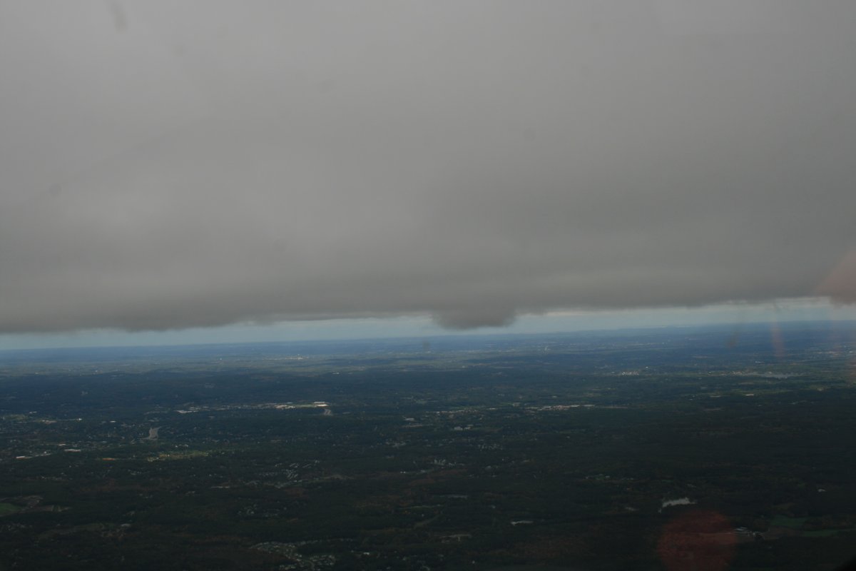
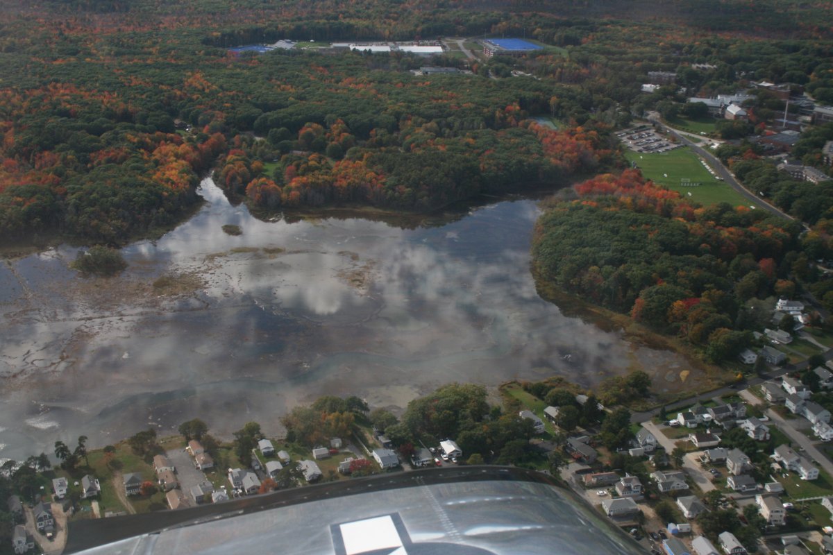
It started clouding up below me. I stayed high as long as I could but finally decided I better get under the almost complete layer. So I descended through a big hole somewhere in Massachusetts.
|
| |
 |
|
| It sure does look a lot different underneath that it does on top. |
| |
 |
|
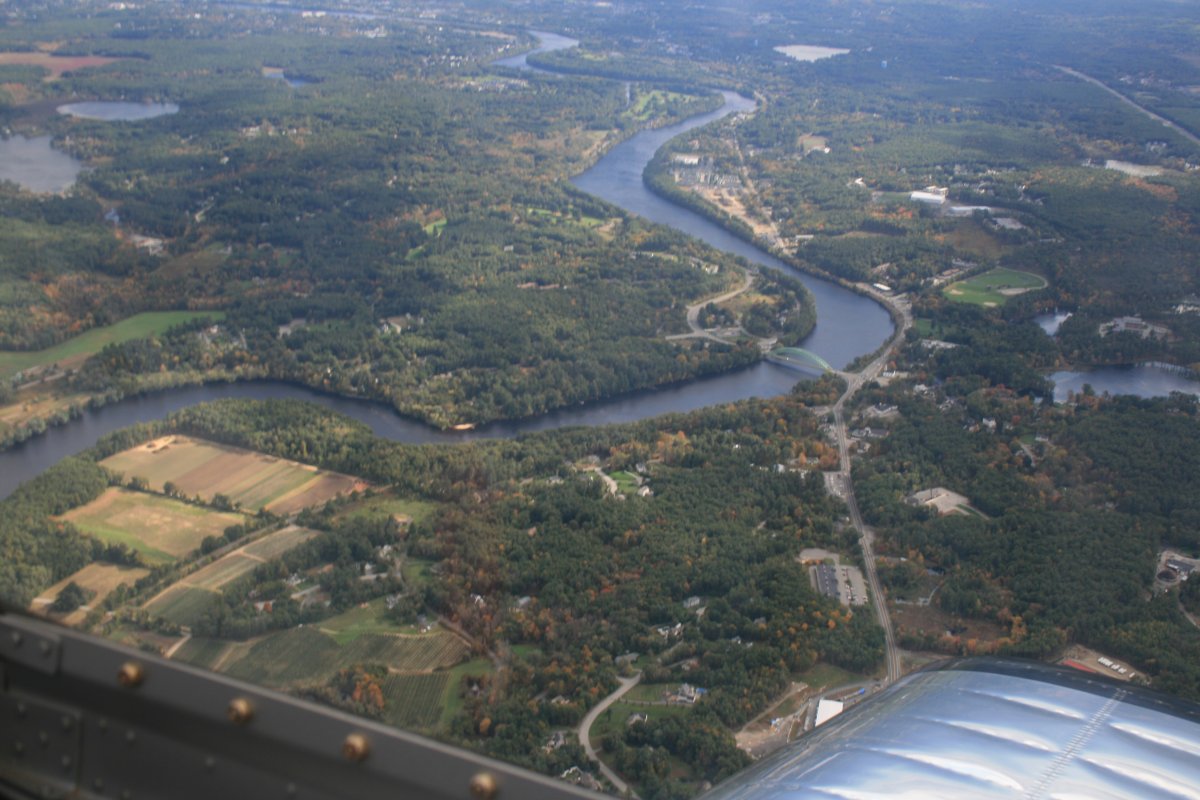
| I'm guessint that is the Sudbury River in Massachusetts. |
| |
 |
|
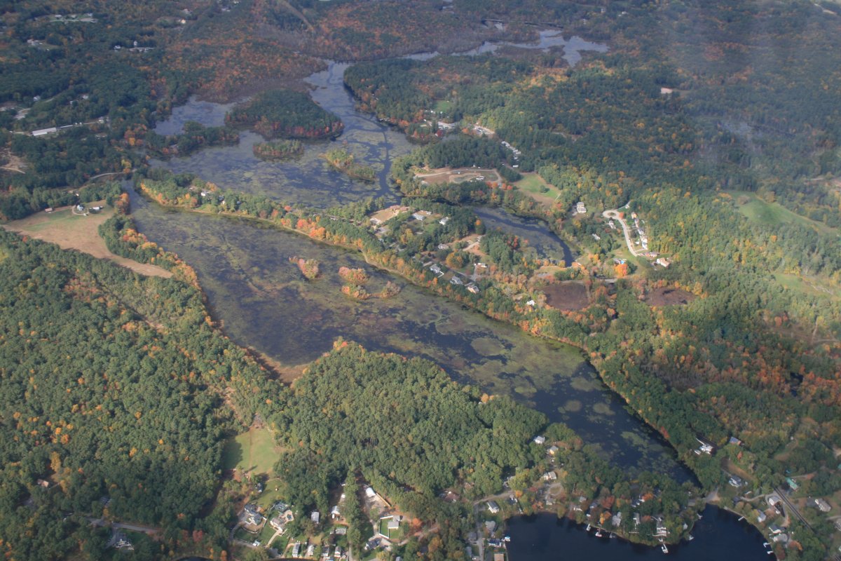
| The sun came out briefly, making for a pretty picture. Starting to see a little color. |
| |
 |
|
|
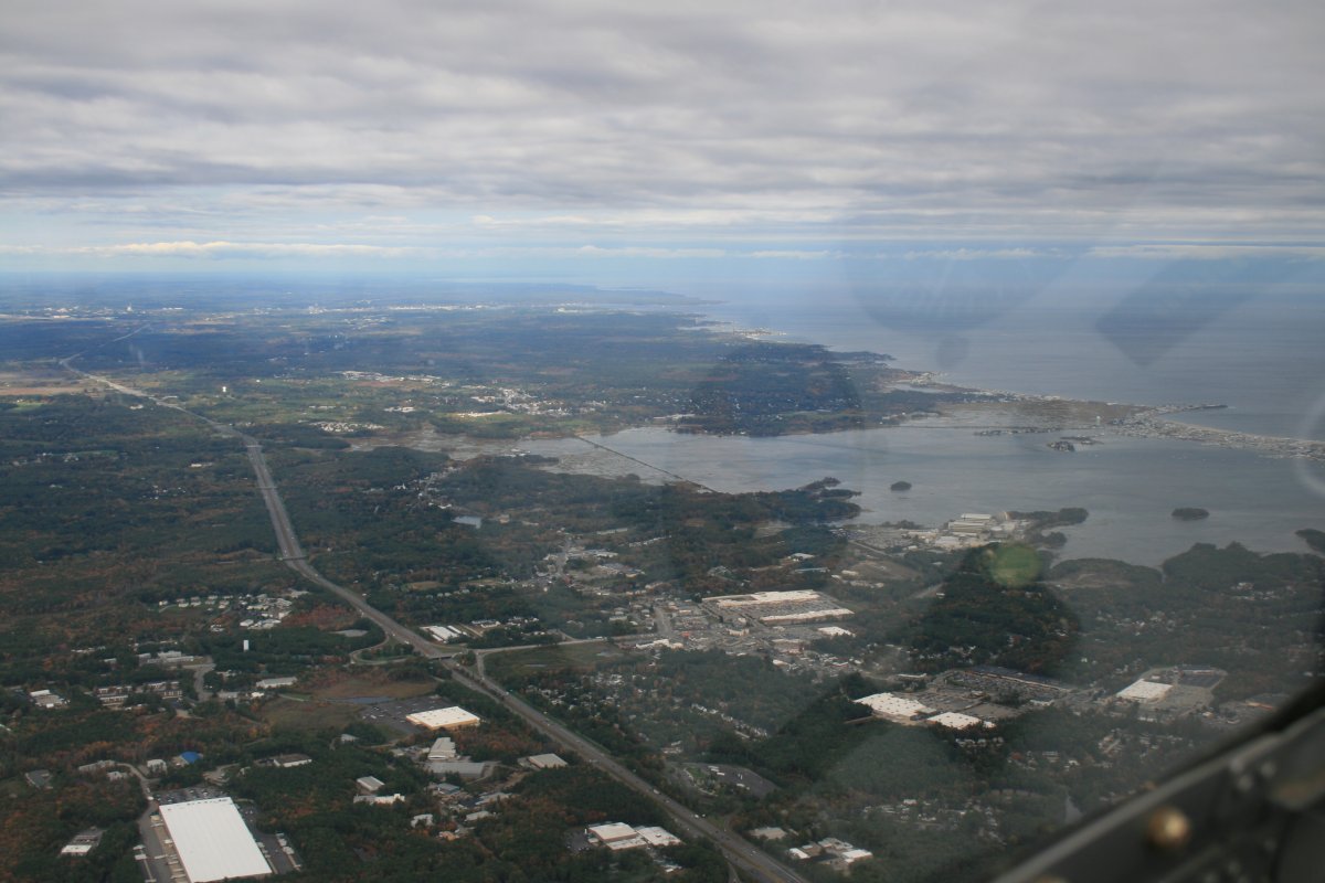
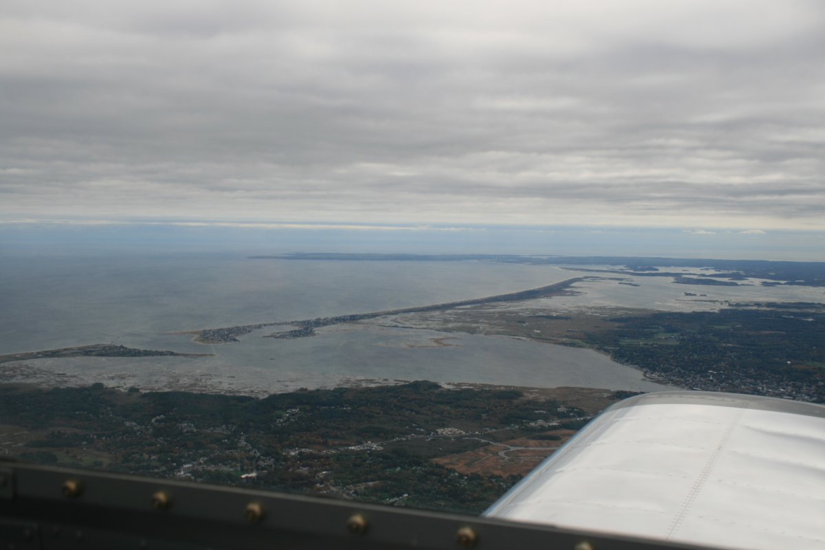
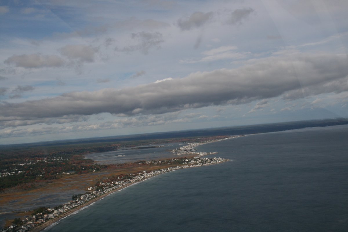
I turned east towards the coast, hitting it around Hampton, New Hampshire.
|
| |
 |
|
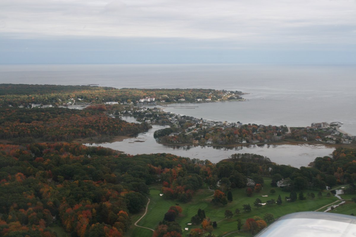
| Looking south at Plum Island and the Rockport/Glouchester peninsula. Note to self: I'll have to fly down there one of these days. |
| |
 |
|
|
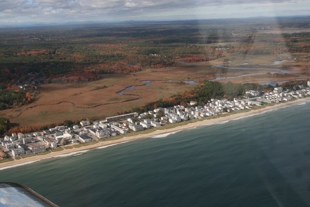
Hampton river, Hampton State Beach Park (north of the inlet), Hampton Harbor, Seabrook Beach south of the inlet
|
| |
 |
|
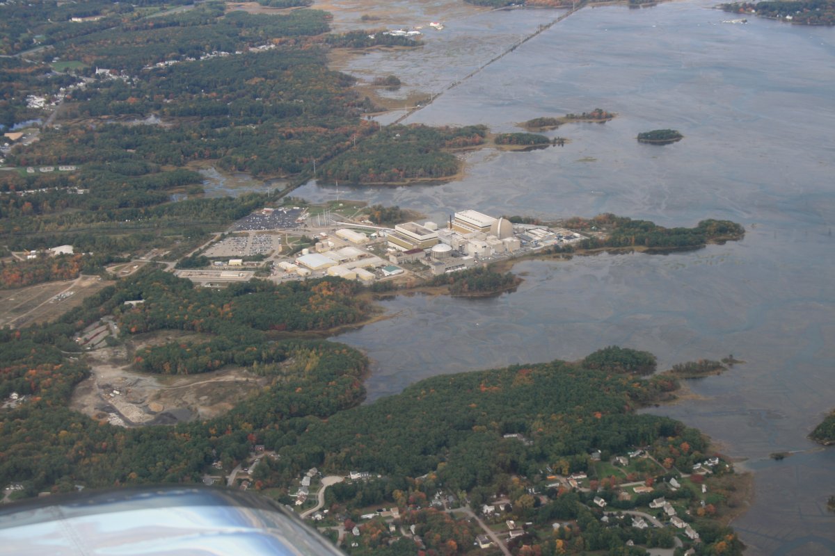
| Passing by NextEra Energy Seabrook Station: a nuclear power plant. |
| |
 |
|
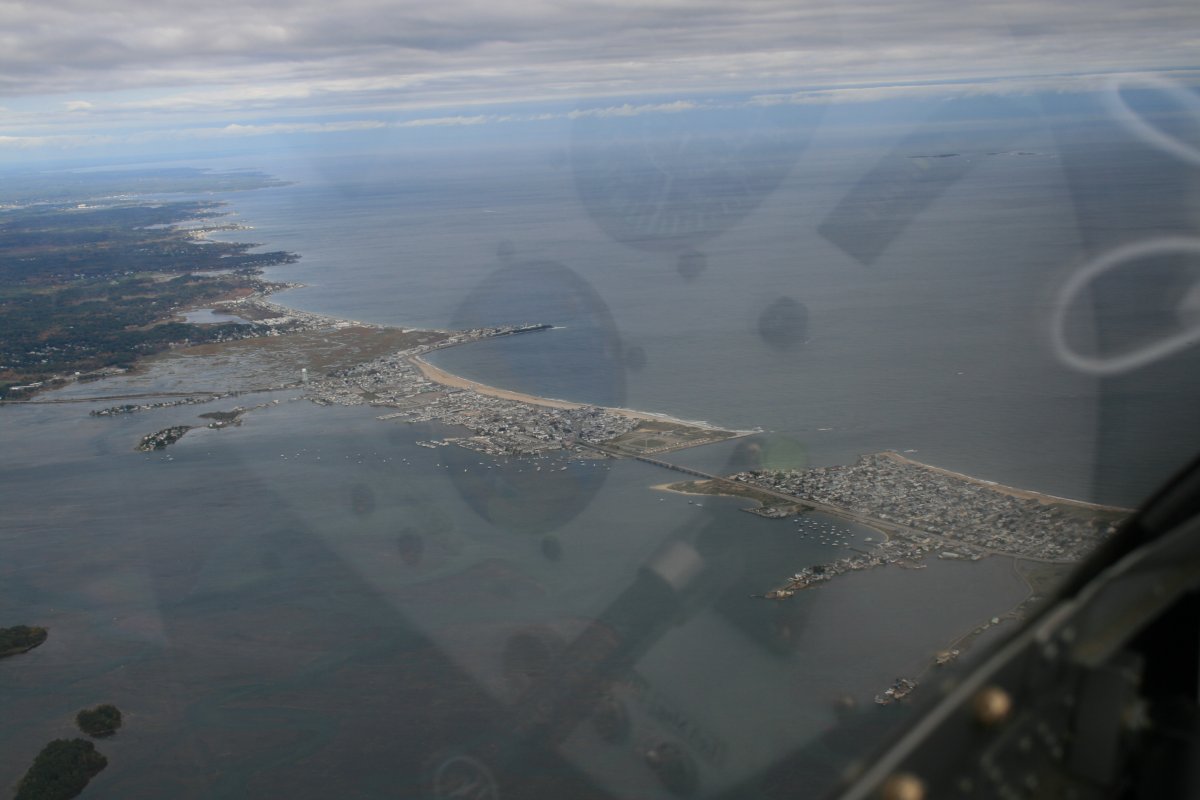
| A good look at Hampton Beach. |
| |
 |
|
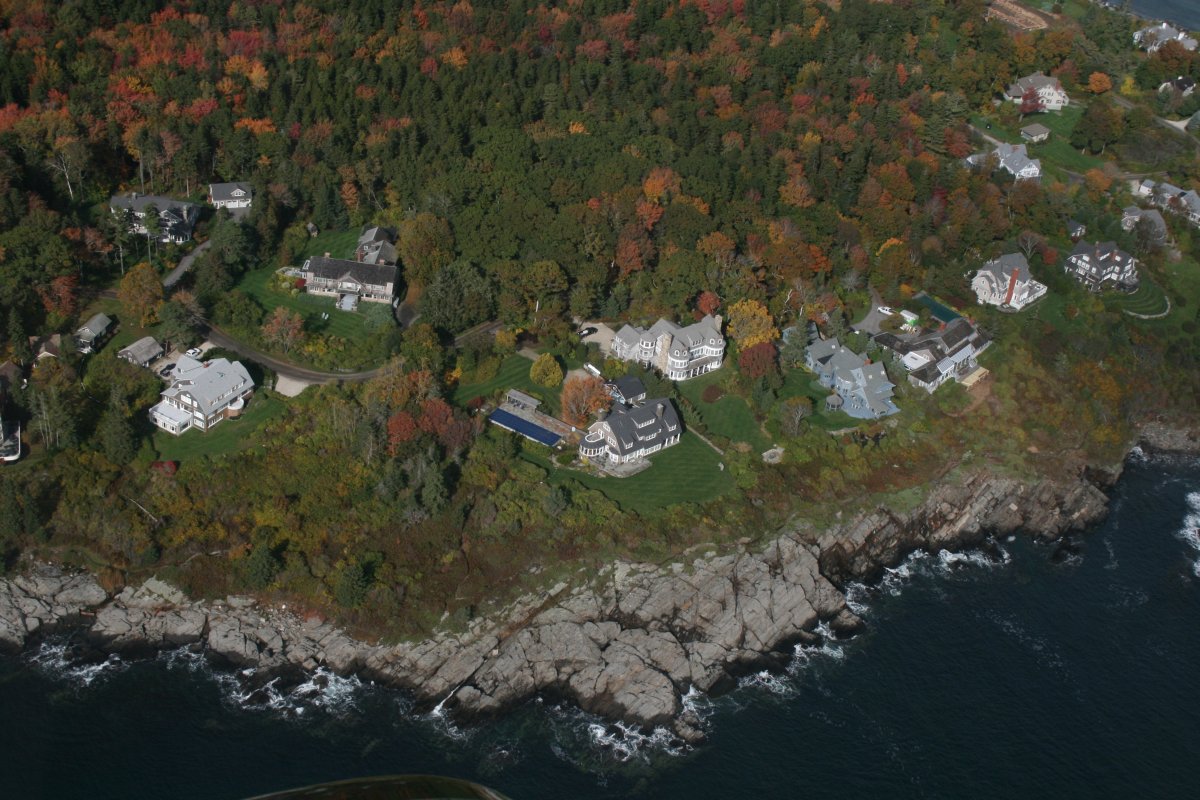
| Now I'm flying north up the coast and seeing some beautiful ocean-front houses. |
| |
 |
|
Flying just outside the Class D airspace of Portsmouth International at Pease (KPSM). A public airport now, Pease used to be an Air Force Base. It closed in 1988. When I was in a P-3 squadron homebased in Brunswick, Maine in the mid-80s, I remember once we had to divert to Pease AFB because of bad weather at Brunswick. |
| |
 |
|
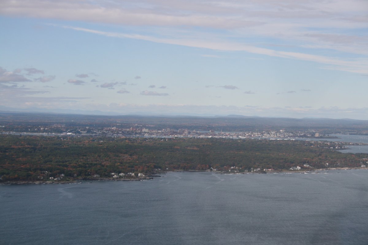
| Passing by Portsmouth, the mouth of the Piscataqua River, and crossing into Maine. Portsmouth Naval Shipyard is in the center of the picture. |
| |
 |
|
|
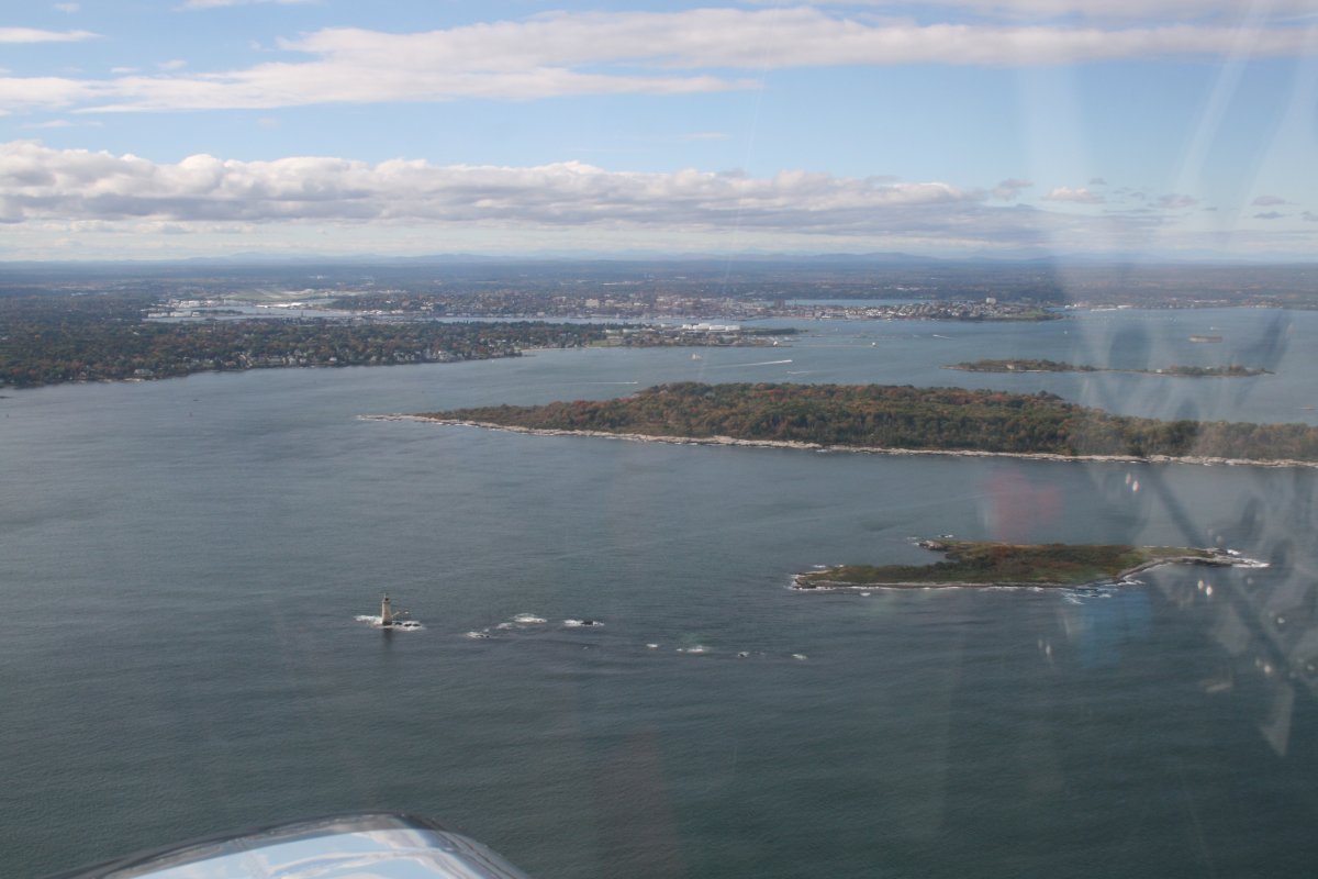
A closer look.
|
| |
 |
|
| Even though the picture is blurry, I thought this was quite the house, all by itself, overlooking the blue ocean. |
| |
 |
|
|
It was bumpy down at 1,000 feet so I put the camera on action mode, snapping off three shots in rapid succession at a time. This worked, as I would get at least one sharp picture, like this one.
That's Nubble Point and Nubble Lighthouse below.
|
| |
 |
|
|
|
| |
 |
|
|
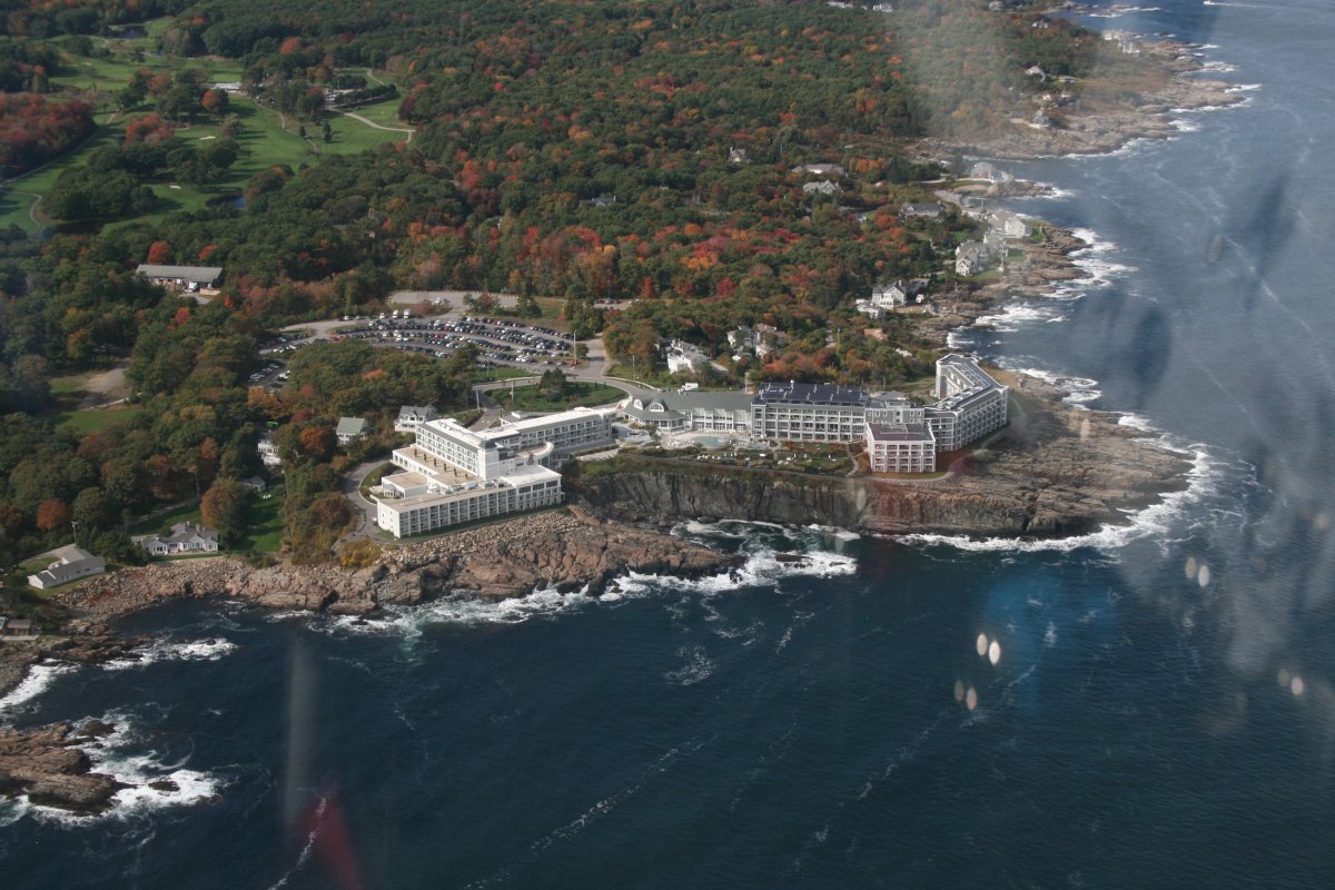
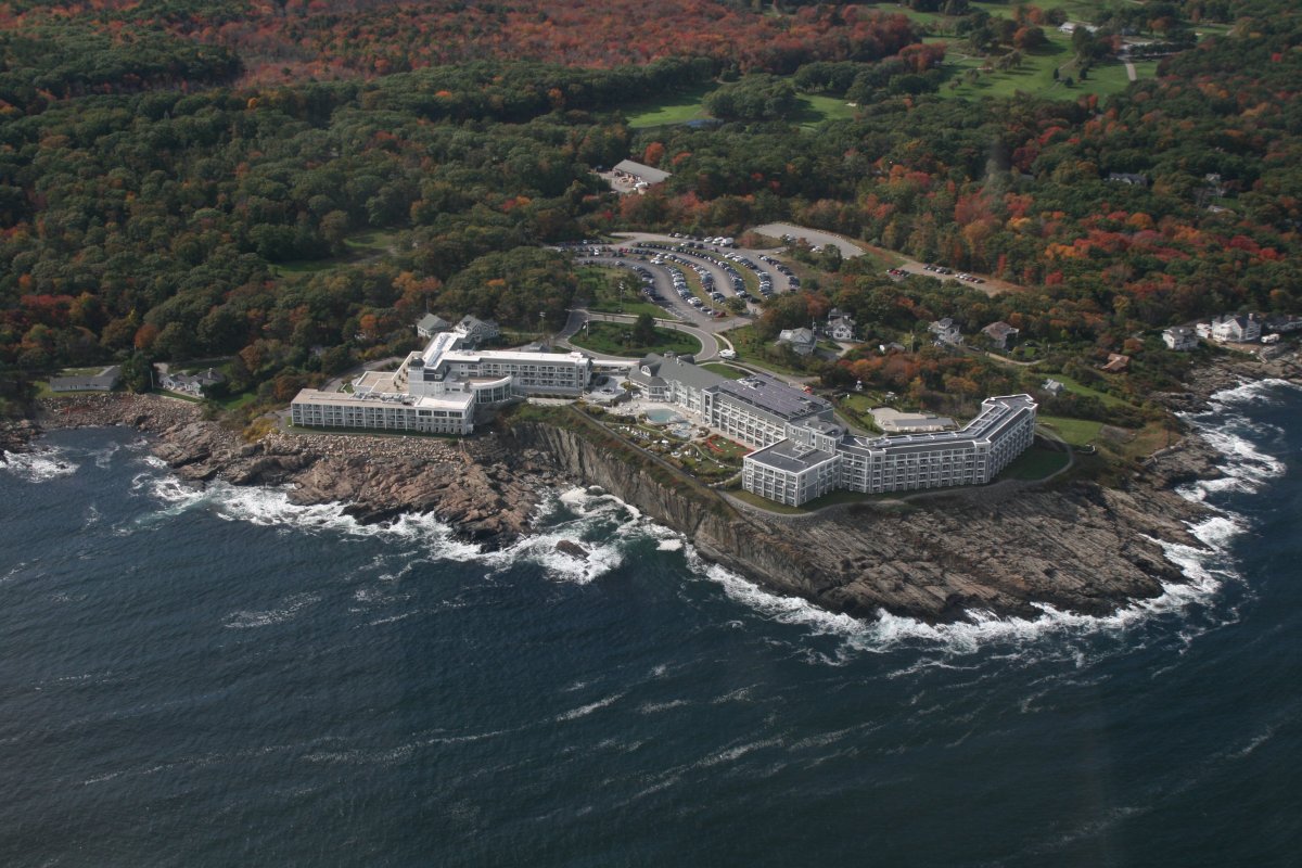
The Cliff House luxury hotel is worth another look.
|
| |
 |
|
| Ogunquit beach. |
| |
 |
|
| Passing by Ogunquit beach. |
| |
 |
|
| Foliage and the coast, a nice combination. |
| |
 |
|
|
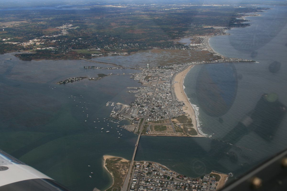
Kennebunkport in the distance.
|
| |
 |
|
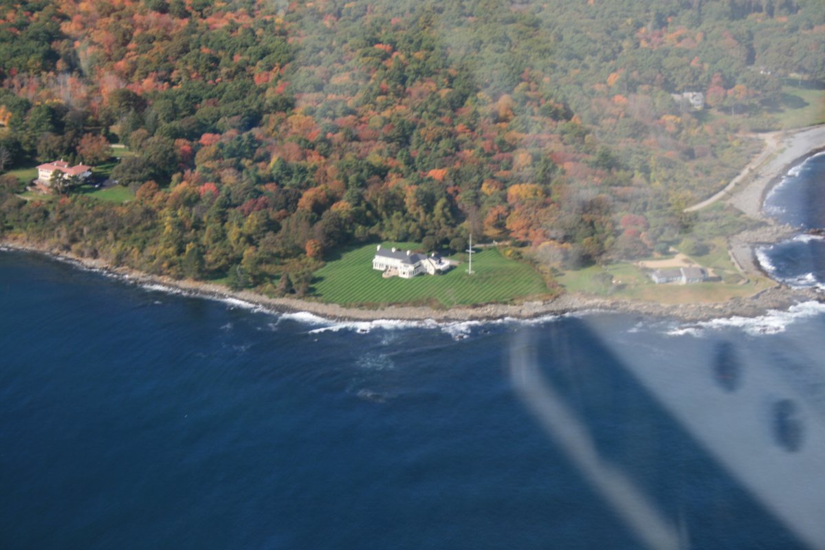
| This is as close as I could come to Kennebunkport because there is prohibited airspace around the President Bush compound on Walker's Point. |
| |
 |
|
|
The scenery from the air is getting good.
|
| |
 |
|
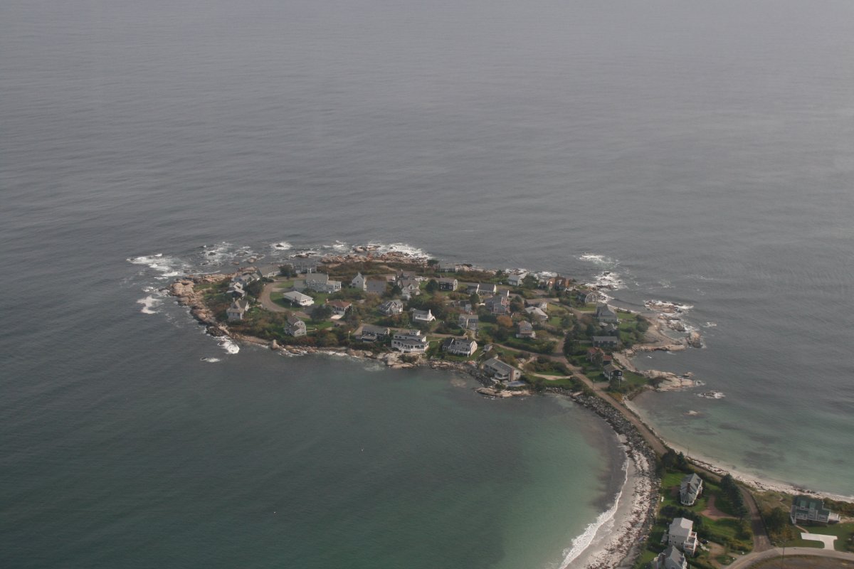
| Interesting little community on an island out in the ocean. It's called Hoyt Neck. I don't know if I'd want to live there during a storm. |
| |
 |
|
| |
| |
 |
|
| |
| |
 |
|
|
|
| |
 |
|
|
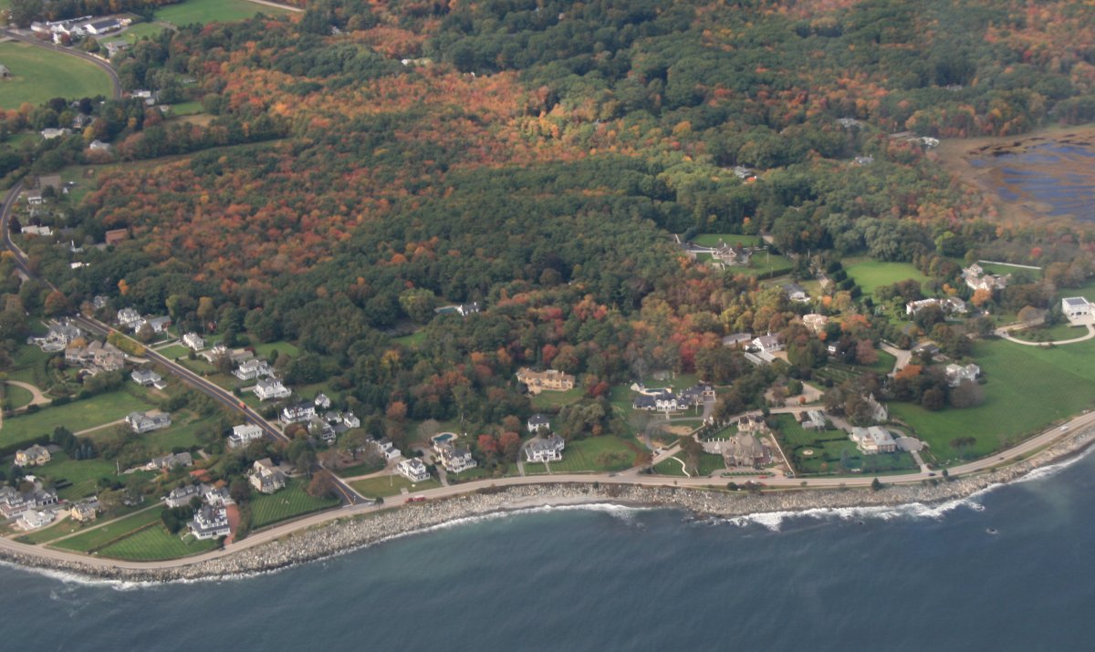
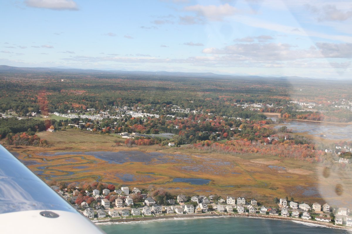
More nice ocean-view houses on the coast.
|
| |
 |
|
|
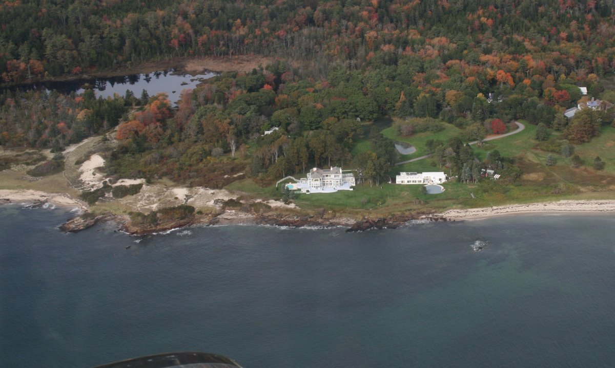
I guess we'll have to call this one a mansion.
|
| |
 |
|
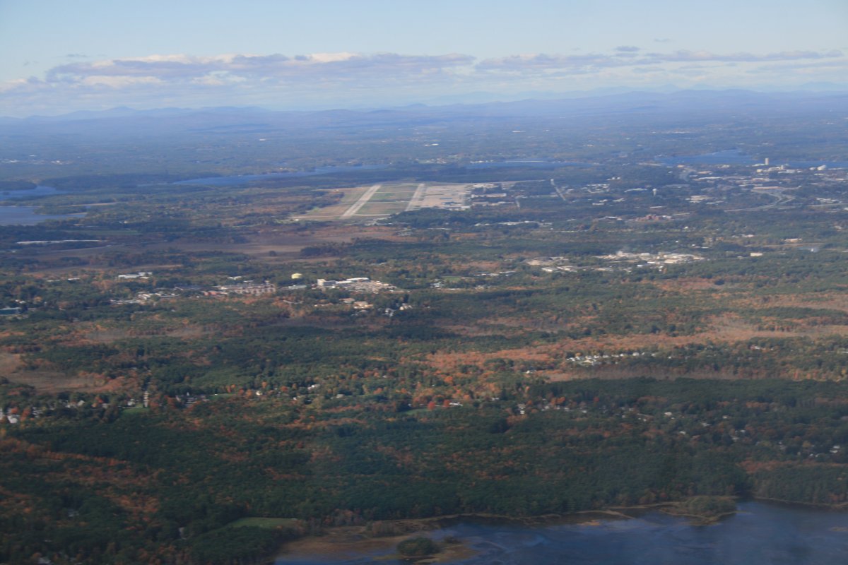
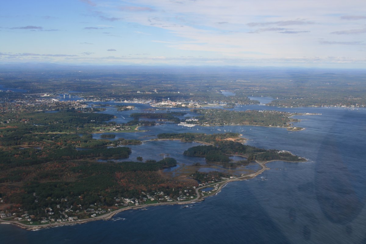
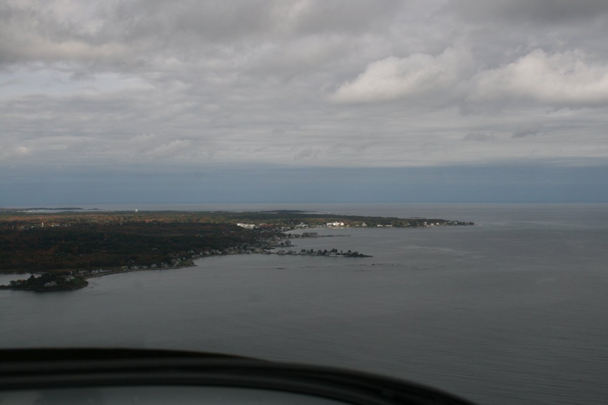
| Approaching the city of Portland, Maine. |
| |
 |
|
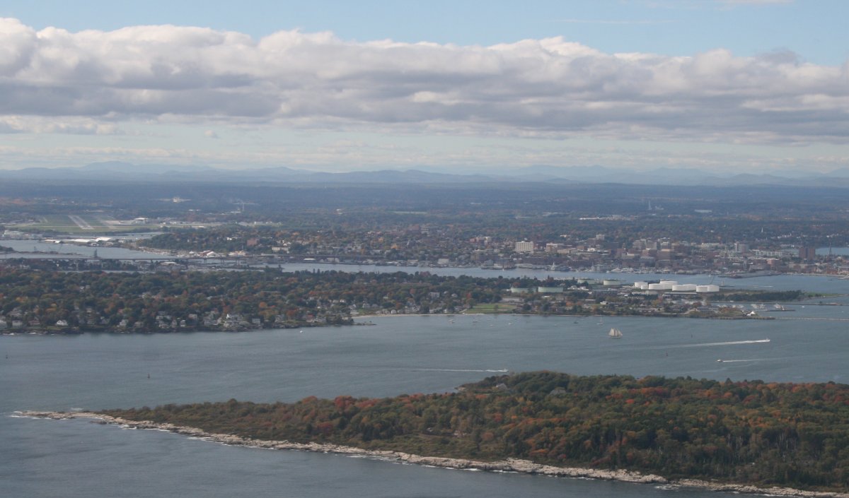
| I couldn't get as close as I'd like to Portland because its airport has Class C airspace. So I flew over Casco Bay. |
| |
 |
|
| A close-up of Portland. You can see the airport at left center. |
| |
 |
|
|
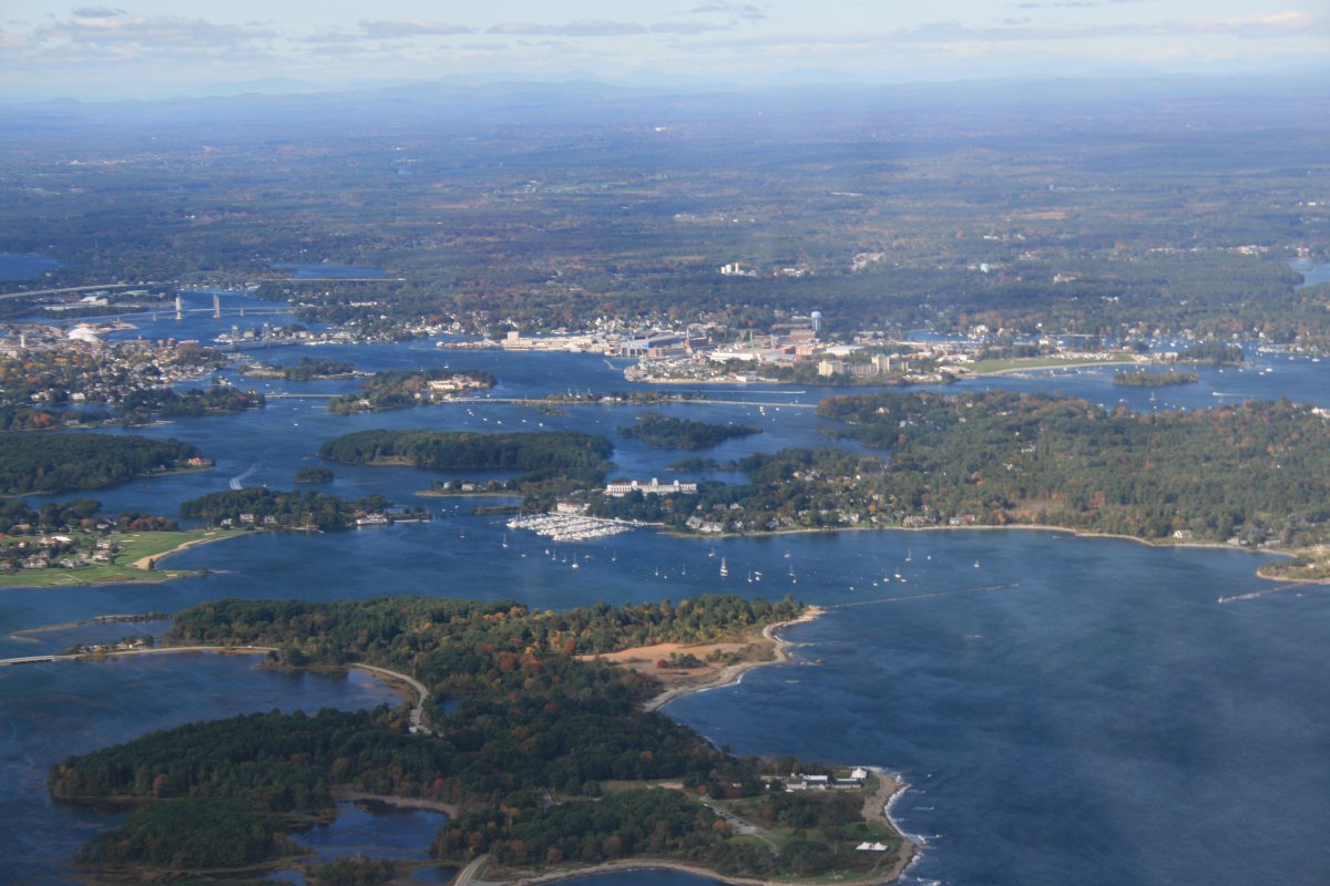
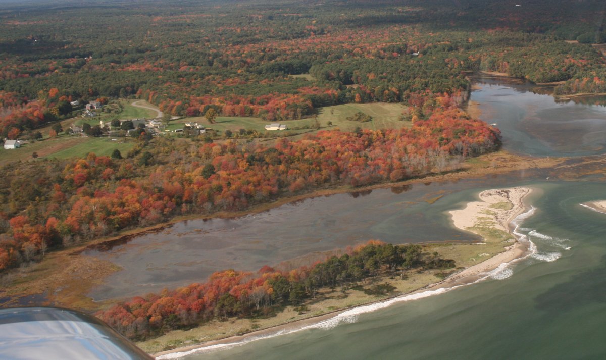
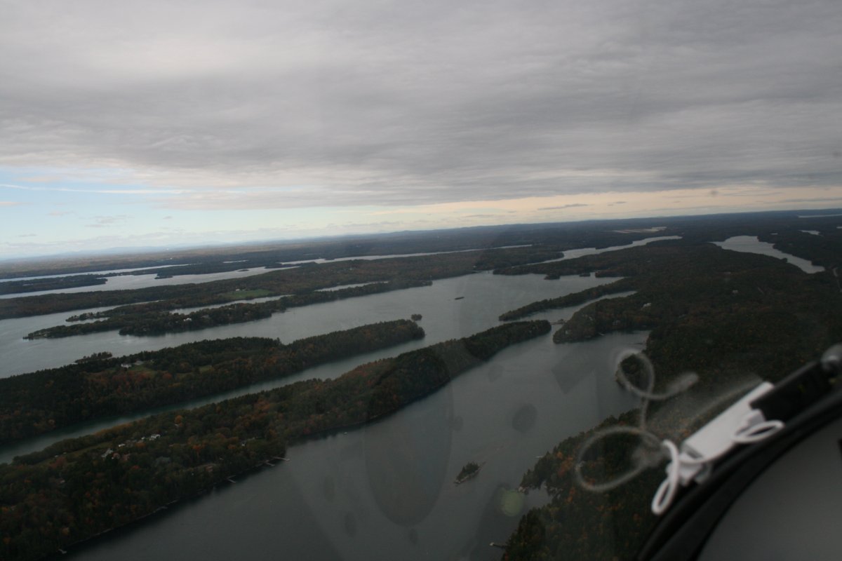
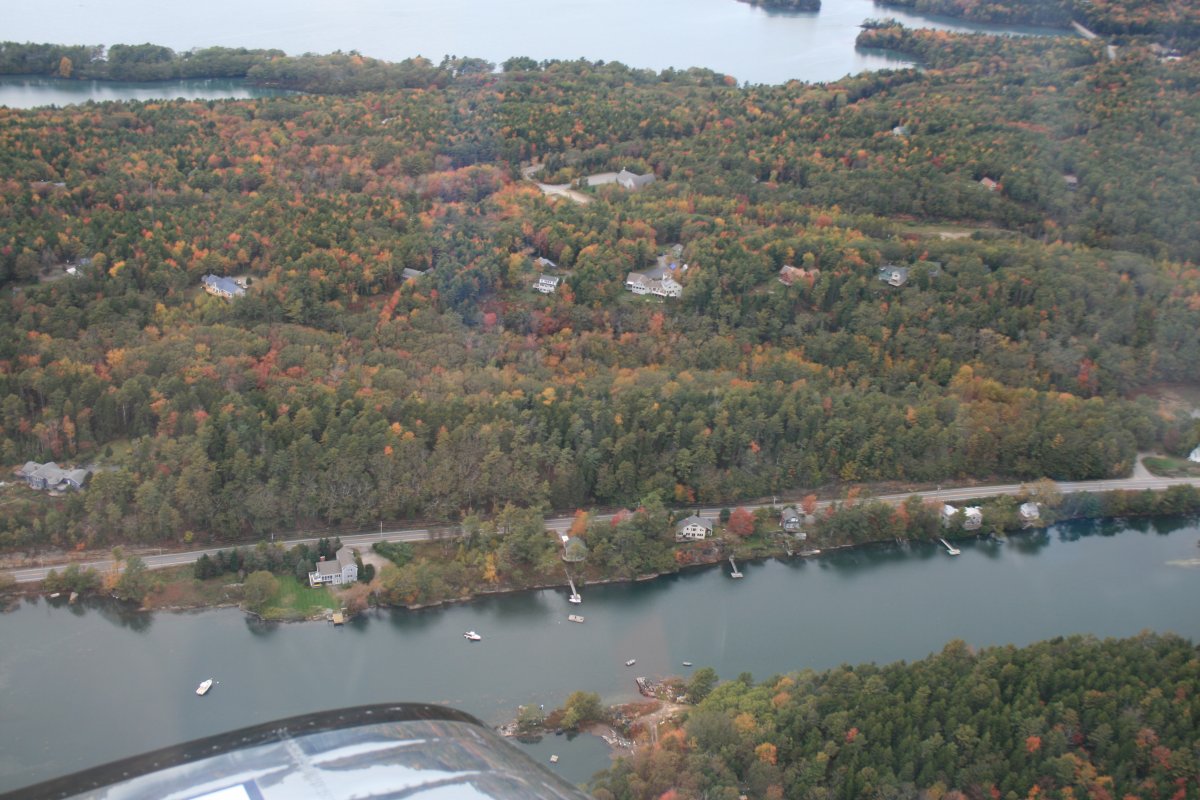
Typical coastal Maine scenery.
|
| |
 |
|
|
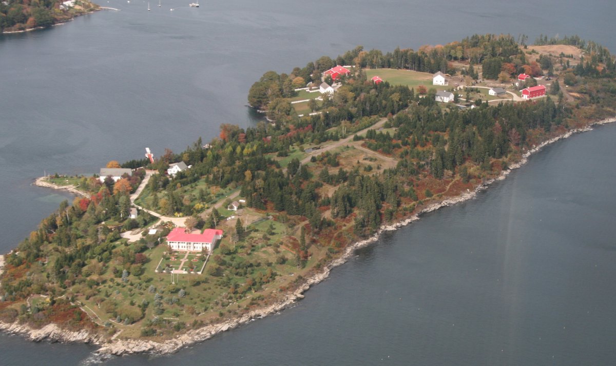
This island was unique because it seemed like most of its buildings were painted red.
|
| |
 |
|
|
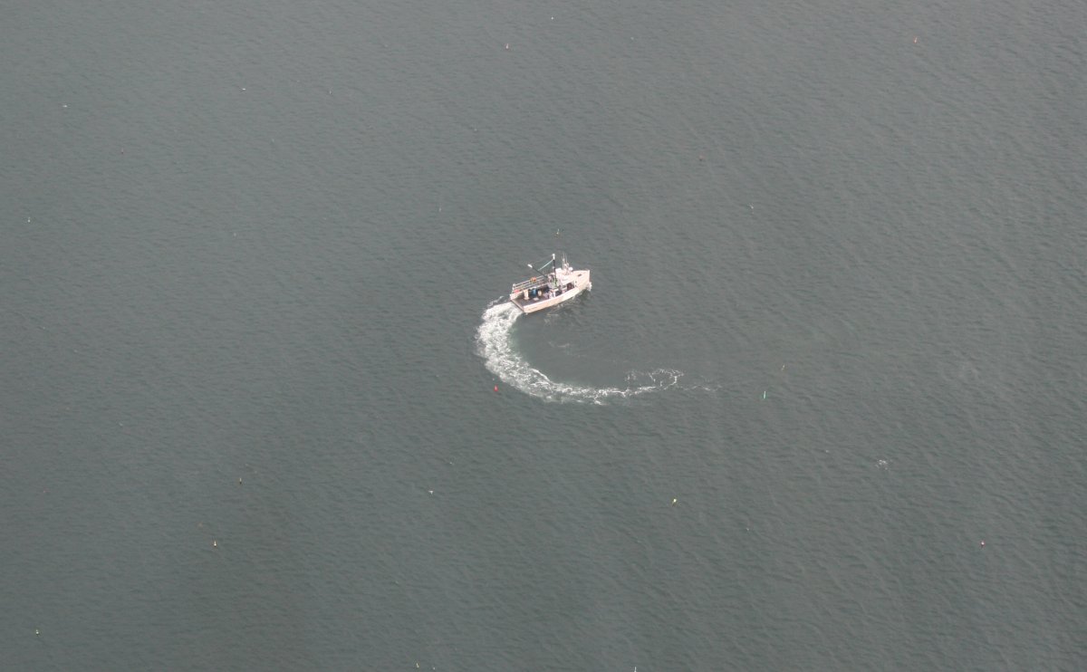
A Lobster-boat, plying its trade.
|
| |
 |
|
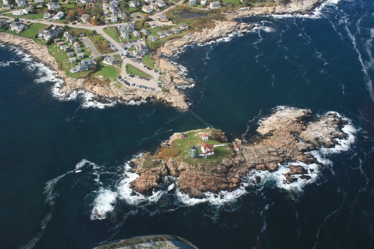
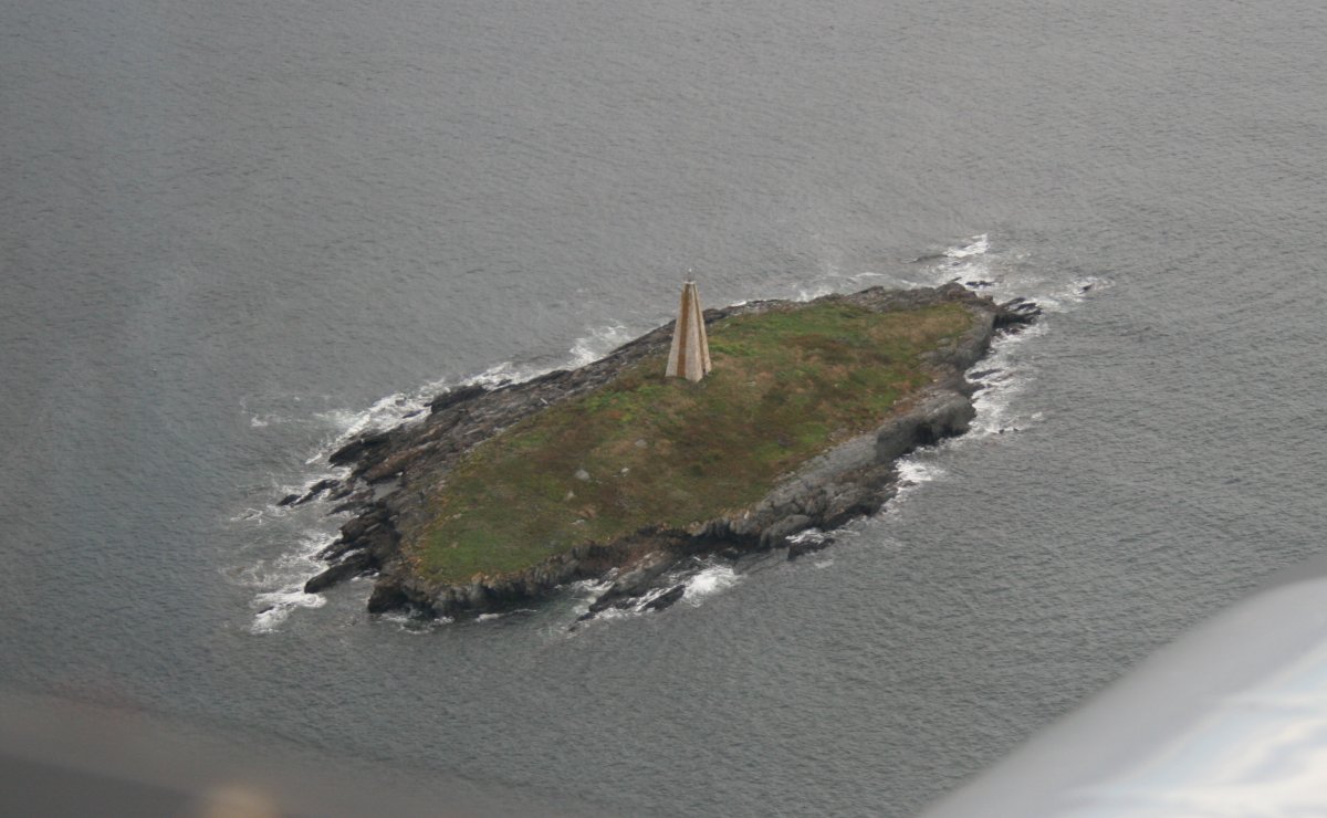
| Unusual shaped lighthouse. |
| |
 |
|
| Approaching the southern tip of Bailey Island. |
| |
 |
|
| |
|
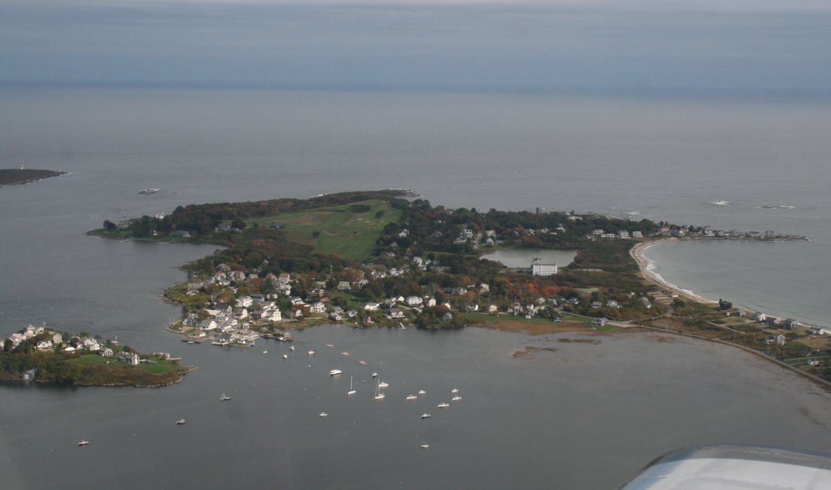
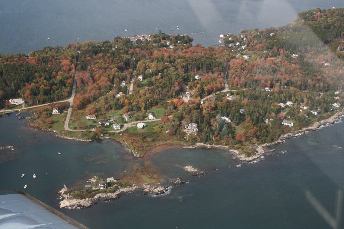
Land's End at Bailey's Island. Lynnette and I drove here the last time we visited Brunswick.
|
| |
 |
|
|
Passing by Mackerol Cove.
|
| |
 |
|
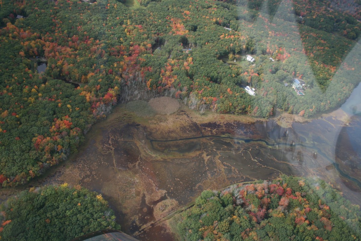
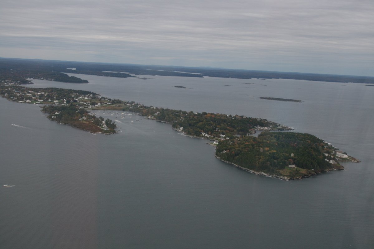
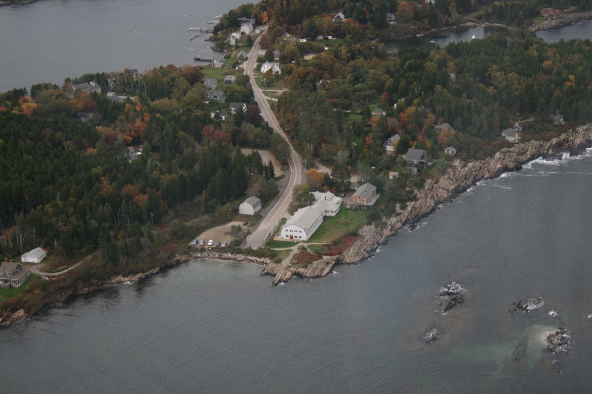
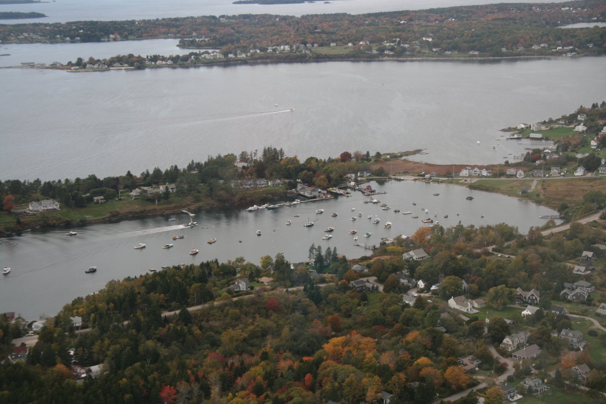
| Lots of islands in this part of Maine. |
| |
 |
|
| We used to buy lobsters at Quahoggs; it might be down there. |
| |
 |
|
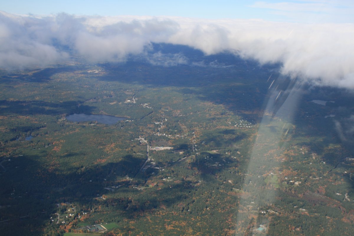
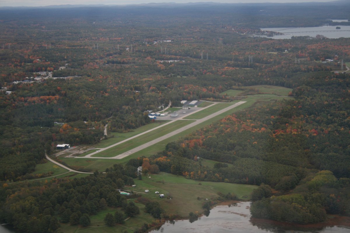
| After flying around Brunwick, Topsham and Bath -- see the next section for that -- I headed over to Wiscasset Airport where I would keep the plane. I flew the Citabria here many years ago and liked the airport. |
| |
 |
|
| |
| |
|
|
|
|
|
|